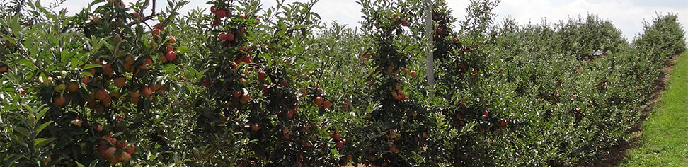
Central Virginia growers, please take note. For the MaluSim model, I have been using weather forecast data for Tyro, VA from Intellicast.com. It was pointed out to me today that the data from that location is significantly cooler than other locations in the region. I have rerun the model using Intellicast.com data from Piney River, VA. While only 5 miles apart geographically, the two forecasts are very different, with Piney River being 5-8F warmer than Tyro. Why that is the case, I do not know. I make no claim to be a weather forecaster!
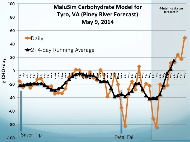
Bottom line is that you need to look at the details of the weather data that I am using in the model by downloading the pdf file. <<Central VA MaluSim 5_9_14>>. Compare these data to your own location to make sure that they represent your conditions. As I have repeatedly said every time I discuss the MaluSim model, the output data is only as good as the weather forecasts that are used as inputs.
Using the Piney River forecasts, the MaluSim model is predicting a much greater CHO deficit than Tyro. If temperatures are going to be in the 80sF at your location for the next couple-few days, then consider reducing rates or waiting until cooler temperatures return next week. Also, remember that the greatest thinning activity is obtained when fruitlets are between 8-12 mm. Waiting until fruitlets are 12-16 mm will result in less severe thinning. But once fruit gets closer to 20 mm, they become much less likely to be thinned by NAA or 6-BA applications.